")
Porti ed idrovie Studi portuari e valutazioni
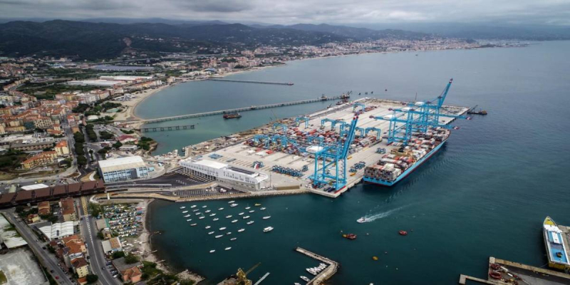
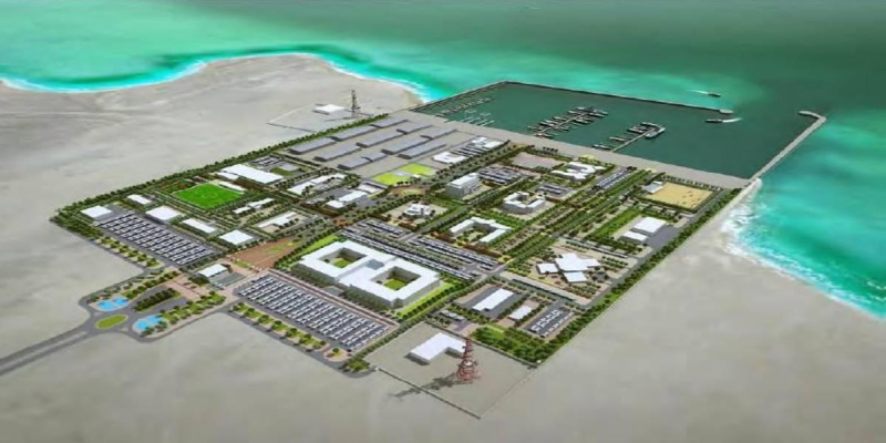
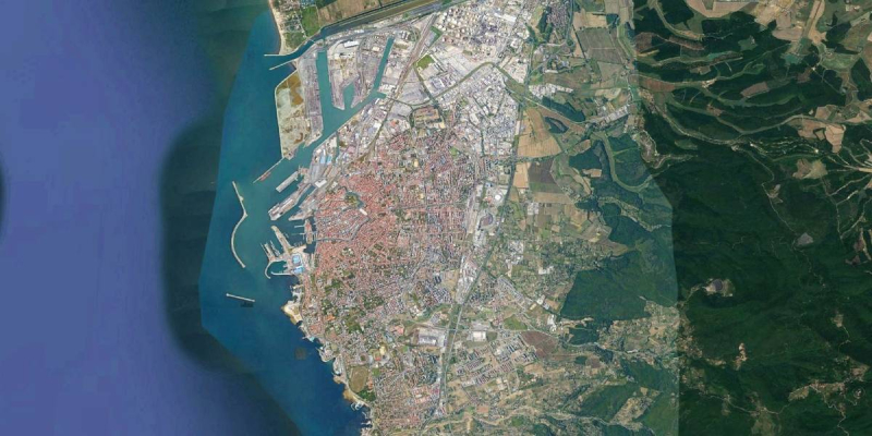
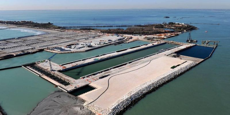
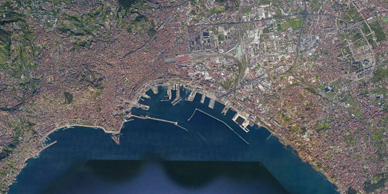
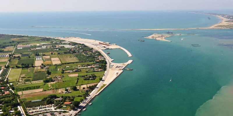
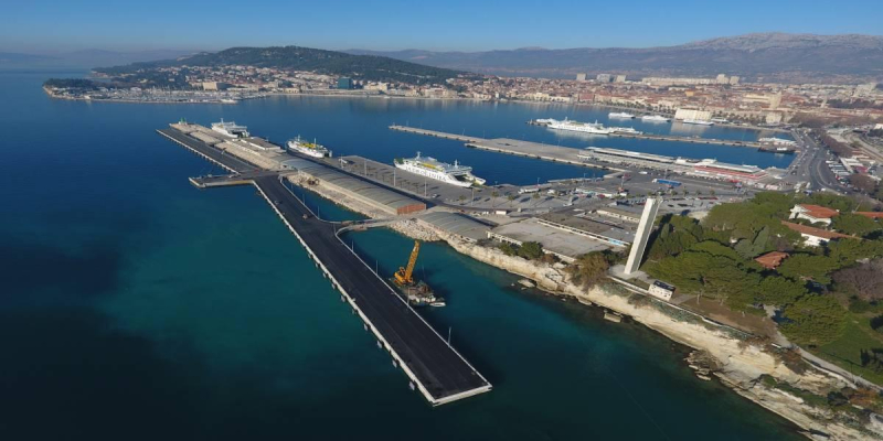
Navigation study for the New Container Terminal in the Port of Naples (Italy)
This Study was strongly desired by the Client, who wished to evaluate the navigation condition for the tankers directed to the inner oil terminals, before proceeding with the detailed design of the new container terminal at Port of Naples.
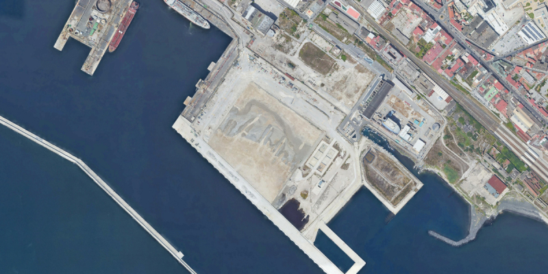
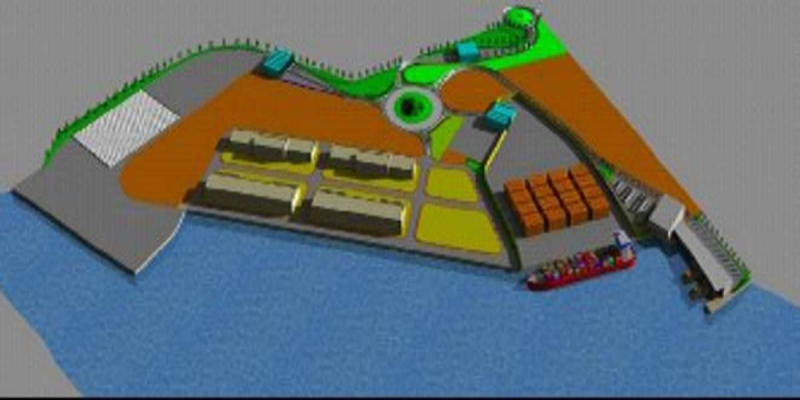
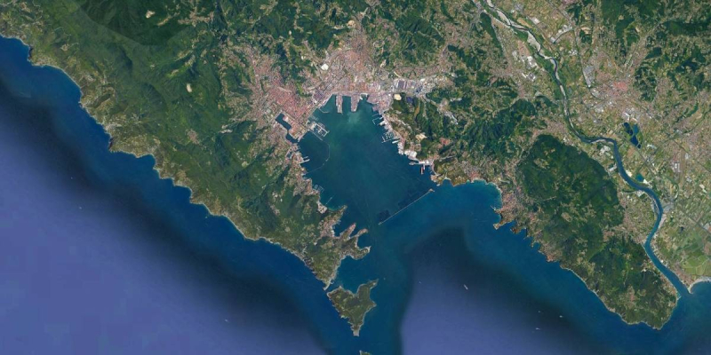
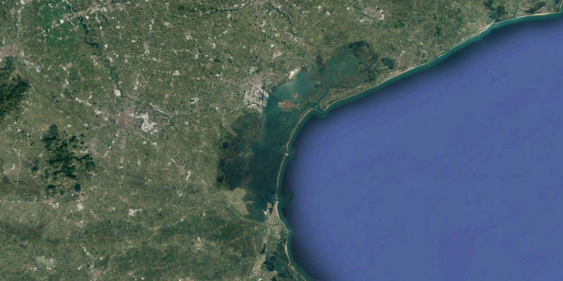
With reference to the figure below, the main purpose of the Study is to demonstrate, using a fast time simulator, that a minimum width of 231 m is sufficient to guarantee safe navigation in the channel between the detached breakwater and the new quay.
The objective was achieved with a navigational study carried out with help of a fast time simulator (SHIPMA).
In the preliminary stage (pre-model phase) nautical assessment was carried out on the basis of International Recommendations (PIANC, BS, etc.) to define width, alignment and buoys along the navigation channel.
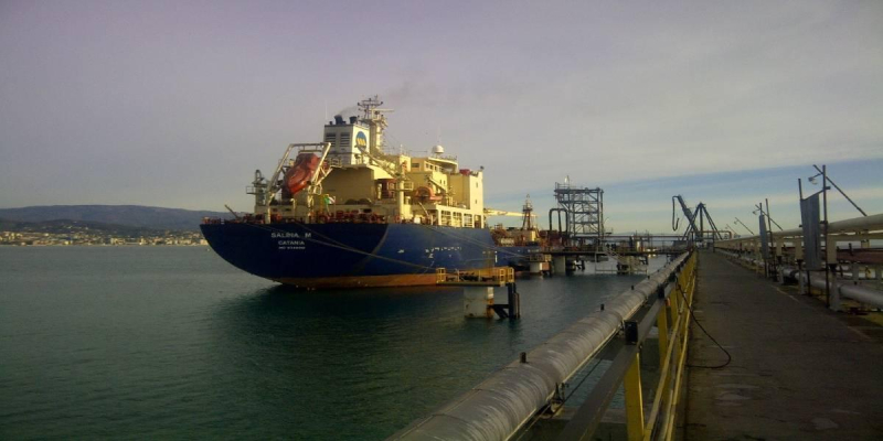
A 90,000 DWT Tanker vessel (Length=233m, beam =42m; Draft=11.1m, with no stern/bow thrusters and single rudder/single propeller) was used to assess the manoeuvring conditions in two scenarios:
- present layout;
- final configuration (with or without the ships berthed at the new quay).
After the definition of the design ship, the schematisation of land contour, depths, wave and wind was conducted and inputted in the SHIPMA model that is capable of performing (by means of an auto-pilot) typical harbour manoeuvres like turning, reverse sailing and berthing. The effect of stern/bow thrusters and tug/s assistance is also computed if needed.
Finally, entrance/exit manoeuvres under representative weather conditions were conducted according to two different project plans, one for each scenario.
Navigation in restricted waters was a peculiarity of the study. To evaluate the related effects, the capability of SHIPMA to describe the bank effect was appreciated.
The results of the simulation were produced in form of:
- Track plot showing the evolution of the position, course and heading of the ship;
- Data plots containing:
- rudder angle, number of propeller revs, ship speed, course deviation and distance to the desired track;
- environmental parameters including wind speed and wave height and relate forces on the ship, flow velocity, water depth etc.
Cliente
Port Authority of Naples
Luogo
Naples, Italy
Servizi
Navigation study (fast time simulator)
Costo dei lavori
N.A.