")
Environment Remediation
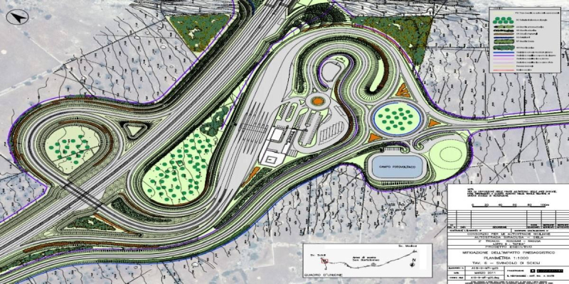
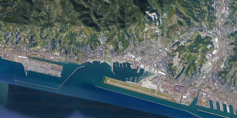
Detailed Design and of EIA of the dredging of Scolmatore d'Arno channel in Pisa (Italy)
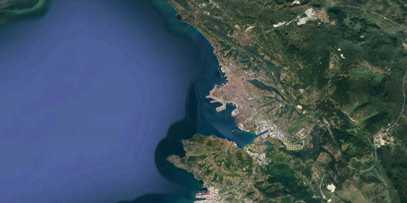
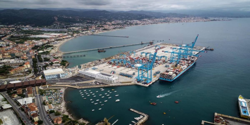
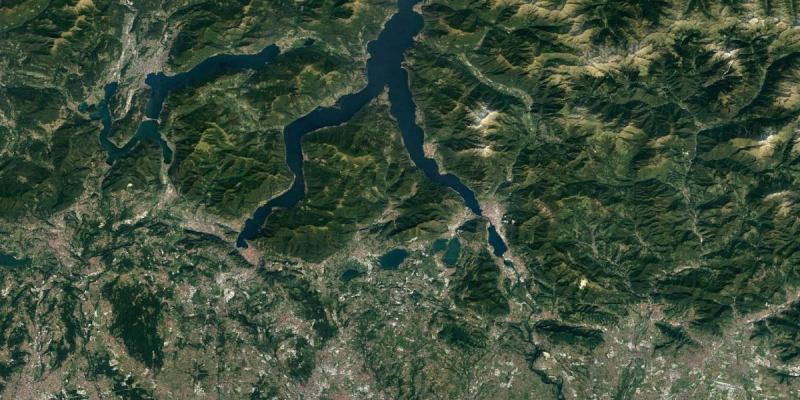
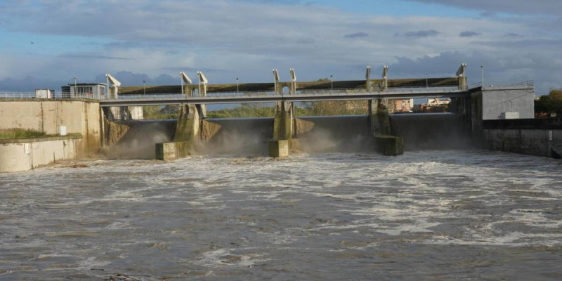
The Channel “Scolmatore d'Arno” is the most important strategic work for the mitigation of flood risk in the Arno River valley and in the city of Pisa. The Channel is 28.3Km long, and it was originally designed for a total capacity of 1,400 m3/s.
Currently, the capacity of the Channel is strongly reduced due to silting, subsidence of the banks and partial obstruction of the Channel mouth. All these aspects put at risk the safety of the local population and of the city of Pisa.
The Company was in charge of the detailed design and of the EIA.
The dredging operations foreseen for the restoration of the original hydraulic conditions of the Scolmatore d’Arno Channel, required to preserve the surrounding areas from flooding, generate a flux of sediments of 600,000 m³. The grain size of the sediments, and the presence of pollutants change along the Channel; a treatment plant is necessary for maximizing the reutilization of the dredged material. In particular, the purposes of the treatment plant are mainly directed to the dewatering of the incoming dredged material, in order to reuse it for dikes re-profiling works and beach nourishment, to the minimization of the disposal of the contaminated fraction and to allow the discharge of the treated water into the Channel, according to the national legal standards.
The dredged material will be transported by barges and then pumped to the treatment plant; it can be divided in two main fractions: the fine-pelitic one (silt-clay) is widely spread along the inland part (465,000 m³), while the sand fraction one (135,000 m³) comes mainly from the estuary of the Channel. The main pollutants are HCs, PCBs and PAHs; the concentration varies along the Canale Scolmatore, with the higher values in the deeper layers of the riverbed, in close proximity to the estuary and the surrounding industrial areas such as refineries and port terminals.
The following sediment treatment processes foreseen depend on the nature of the incoming material and two different approaches have been considered, both based on physical methods such as natural desiccation, for the fine-pelitic fraction and soil separation, classification for sandy material.
The first process is based on the realization of 4 desiccation ponds in which the fine material is arranged in thin layers, in order to assure a natural evaporation, in a time lapse of 3 weeks.
This solution primarily characterized by a very low energy impact, has been adopted in view of the significant quantities of material to be treated, the high availability of surfaces and “medium-long” process times. At the same time, a volume reduction of the contaminated fractions that will be identified and quantified by soil analysis during the dredging operations and the treatment process is assured. For these fractions, if the degree of contamination results higher than the national legal standards for reuse also after the dilution, the contaminated material will be disposed to landfill. For the sandy fraction a sand recovery unit has been foreseen: the unit, based on the separation of the material with hydrocyclones, assures high values of classification, concentrating the contaminated parts in the overflow that will be treated into a chemical-physical water treatment plant: the treated water is stored and reused in the treatment processes. The sludge resulting from the clariflocculation process is mechanically dewatered and disposed to landfill.
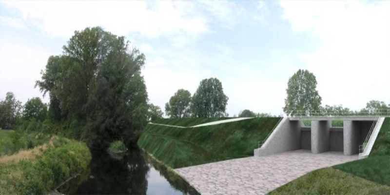
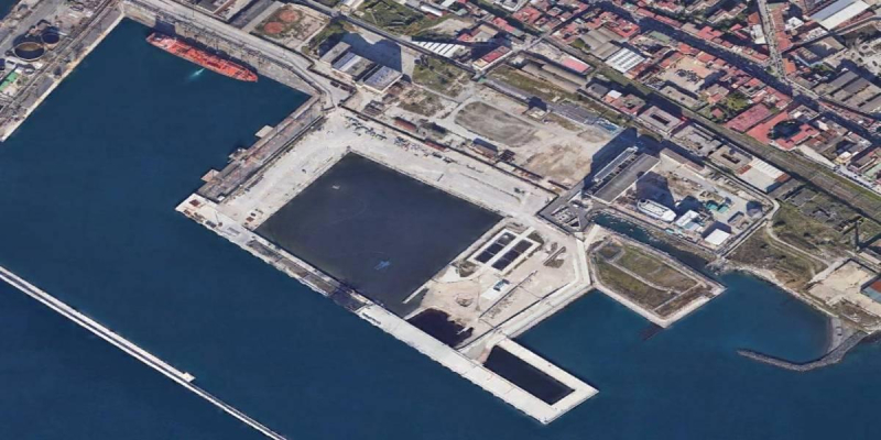
The project to which the EIA Study refers include: restoration of the banks and of the Channel mouth, protection of the Channel mouth by means of two piers, dredging of the Channel to restore the original bottoms elevation, restoration ad enhancement of the shoreline. The project includes also a treatment plant for the dredged sediments, aimed to their reusing along the banks.
The EIA Study has been coupled with the Environmental Appropriate Assessment Study, due to the interaction of the projects with natural sites of the Nature 2000 Network.
The EIA study has been divided into three frameworks: design framework, planning framework and environmental framework.
The first one analyzes in detail the project (construction and operation phases) in order to highlight the main interactions between the works and the context. In the second one, the interferences between the project and the requirements and constraints contained in the territorial planning programs have been analyzed, focusing on the ones related to shoreline management and hydrological risk.
In the environmental framework, an accurate description of the current state of the environment has been performed, based on bibliographic data, results of the investigations carried out to support the design activities (e.g.: geological, hydrological, water quality and sediment quality surveys) and several data collected from local environmental Authorities.
Particular attention has been paid to the natural value of the project area, which is located along a national park and European protected areas (Nature 2000 Network) and which is an important site for migrant species (Bird International protected area). The description of the environments included: air quality, coastal waters (waves and currents, hydrodynamics, sediment transport, marine water quality), surface water quality, soil and subsoil (geology and geomorphology, soil quality and sediment quality), flora and fauna, landscape, archaeological, noise and vibration, economy and social aspects.
A modelling and numerical approach have been used to study and describe the effects of the project. An effective checklist of the impacts has been drafted in order to identify impacts in the short and long term as well as at various spatial scales. A degree of significance has been associated to each impact. The key environmental aspects under study were:
- Sediments quality in relation to dredging and treatment activities;
- Modelling simulation of the hydrodynamic and hydrological condition, with particular attention to the effects on the coastline (shoreline extension and coastal circulation) and to turbidity and salinity levels (marine water quality);
- Landscaping of the new structures;
- Modelling of the propagation of noise emissions and air pollutants during the construction phase;
- Noise annoyance on bird community during construction and operation phases; and
- Annoyance of the marine fauna, with particular attention to the marine mammals, as the sea area in front of the channel mouth is part of the Pelagos Sanctuary for Mediterranean Marine Mammals.
Client
Province of Pisa - Servizio di Difesa del Suolo
Location
Pisa, Italy
Services
Detailed Design, EIA
Cost of works
Euro 51,976,000,00