")
Marine and coastal Dredging and land reclamation
Feasibility study and detailed design of the dredging of Dar es Salam port entrance channel and turning basin (Tanzania)
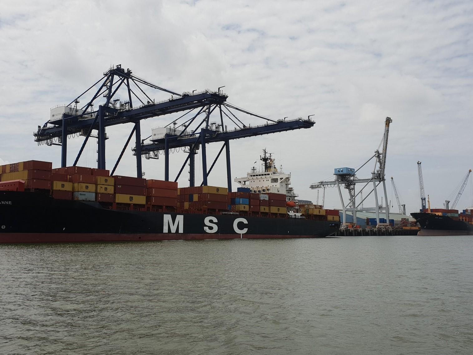
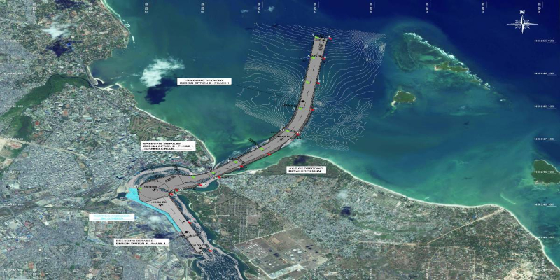
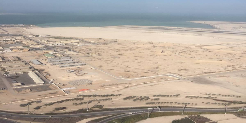
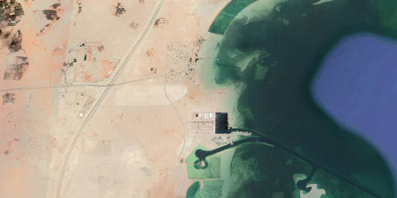
The Port of Dar es Salaam (DSM) is the main port of Tanzania. Volumes handled reached 14.5 million tons in 2013/14 and are growing by 10% per year, with containerized volumes increasing even faster. The port has 11 berths (for a total length of approximately 2,000m), two tanker berths and handles a vast array of cargo, including containerized, dry bulk, Ro-Ro, and liquid bulk cargo. As part of the port development plan, the Tanzania Port Authority (TPA) has developed plans to ensure the access of Panamax and, in the future, possibly Post-Panamax capacity container vessels, as well as larger dry bulk vessels, which are currently constrained by the width and depth of the channel (currently -10.0m/-10.2m CD), the depth at the quay and the available turning basins. These plans require the 5km long entrance channel and port basin to be dredged, and the dimensions of the entrance channel and turning basins adapted accordingly.
Scope of the assignment was to assess the current and future demand of DSM port aimed at defining the size of future vessels calling at the port and to undertake the feasibility study of several dredging options of the port basin and entrance channel, comprising the concept design of each option, the definition of the most suitable dredging and disposal methodology taking into account technical, economic and environmental aspects including water quality assessments, a hydrodynamic and sedimentation study to determine the most viable strategy for maintenance dredging, a cost-benefit analysis of the proposed options and the selection of the optimum alternative to be recommended to TPA for further action. The assignment also included the execution of bathymetric, hydrodynamic, environmental and geotechnical surveys of the access channel and harbour basin to thoroughly assess the properties of the soil to be dredged and to determine the most appropriate dredging and disposal methods.
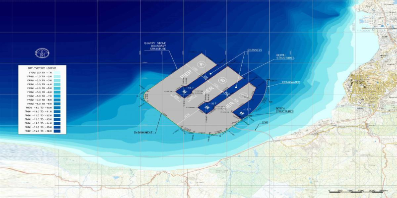
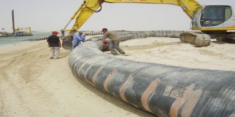
Three dredging design options associated with different development alternatives of port infrastructures were investigated, considering the access to the harbour in both tide restricted and tide unrestricted conditions for several design vessels. The most promising option in terms of technical, financial and economic feasibility implied the deepening of the 5km long approach channel to -16.50m and of the 3.0km long inner channel/harbour basin to -15.50m in order to safely receive a Post-Panamax design ship 305m long, 40m wide and with a draft up to 14.5m without tidal restrictions. The recommended option also included the provision of two new turning circles of 500m and a 1.2 km long extension of the inner channel to enable the access to new Berths 12-14. The total dredging volume amounted to approx. 20 million m3, consisting mainly of clayey silt, sand and coral deposits, 1.7 million m3 of which were contaminated sediments. The management of dredged material included the transport of contaminated sediments to an upland confined disposal facility to be built along the coast, the re-use of suitable material within planned port reclamation projects and the discharge of the remaining soil in open water at dedicated offshore disposal areas. Suitable offshore dumping sites located 10km and 15km NE of the existing channel were selected through a specific hydrodynamic study.
Within the detailed design the Consultant has been requested to perform an additional environment assessment and analysis to determine practicable solutions for the disposal of dredged polluted /unpolluted sediments related to the envisaged expansion works and establish a detailed working methodology for dredging and disposal of dredged material, detailed dredging design as well as tender documents for the dredging works:
- Site investigation and laboratory analysis: physical, chemical and eco-toxicological characterization of polluted sediments to better understand the potential environmental risk of their disposal in the ocean
- Analysis of the dispersion patterns of the sediments dumped in the Ocean: Dispersion study of the dredged sediments (improving numerical models - 3D models- of the area where the sediments have to be discharged); Assessment of dispersion mechanism & comprehensive assessment of the risk, identifying the optimized depth at which the sediments will have to be discharged; turbidity monitoring plan to minimize the risk of impairing marine.
In the detailed design the option B phase 1 has been developed starting from the results of the Environmental Assessment: the deepening of the 5km long approach channel to -16.50m and of the 3.0km long inner channel/harbour basin to -15.50m in order to safely receive a Post-Panamax design ship 305m long, 40m wide and with a draft up to 14.5m without tidal restrictions. The total dredging volume of the phase 1 amounted to approx. 11 million m3, consisting mainly of clayey silt, sand and coral deposits.
Client
Tanzania Ports Authority (TPA)
Location
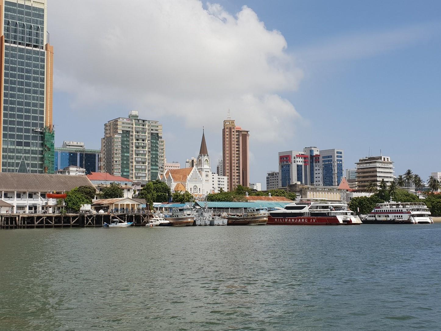
Port of Dar es Salaam, Tanzania
Services
Feasibility study of the dredging of Dar es Salam port entrance channel and turning basin
Cost of works
Confidential