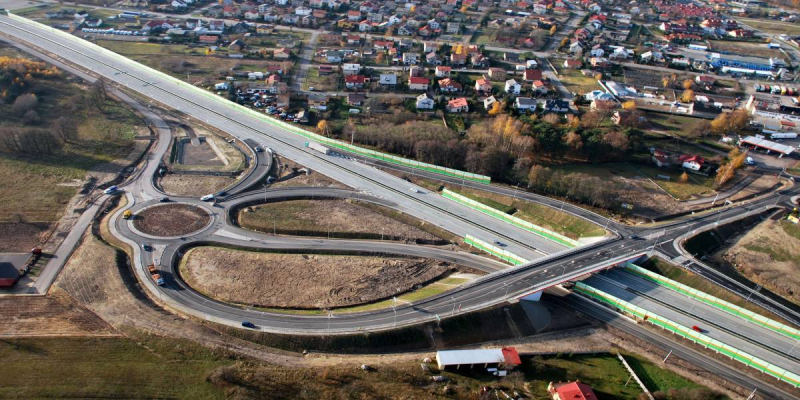

Roads and Motorways Motorways
Work Supervision for the Construction of the Connecting Road between Al Zubair and Al Faw Grand Port
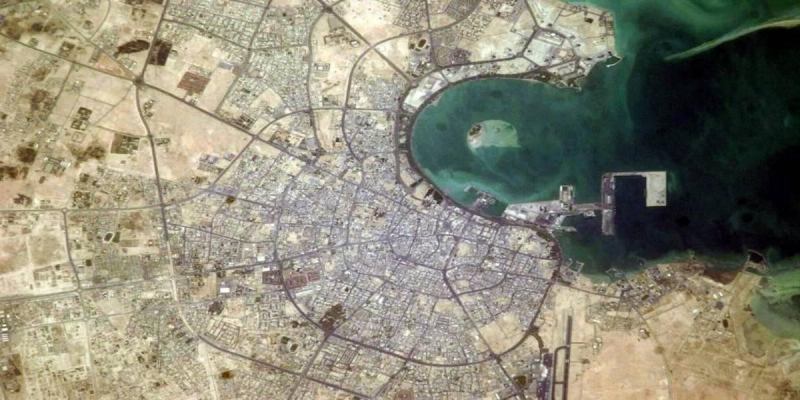
The project of the so-called Connecting Road, a new roadway between Al Faw and Um Qasr, is set in a wider planning and territorial context, i.e. the Al Faw Peninsula Master Plan, based on the decision to create a new seaport in the country, with a remarkable operational capacity. It is expected that in the next 30 years the goods transferred through this seaport will be about 100 million t/y; once completely terminated, its infrastructure will be capable of handling 300 million t/y of goods. The new port needs a high standard roadway connection.
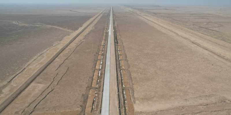
The project of the Connecting Road is located on the southern area of Iraq, Governorate of Basrha, at the mouth of the Shat Al Arab River. The new road will connect the new (under construction) port of Al Faw to Um Qasr and the urban settlement of Safwan, close the Kuwait border.
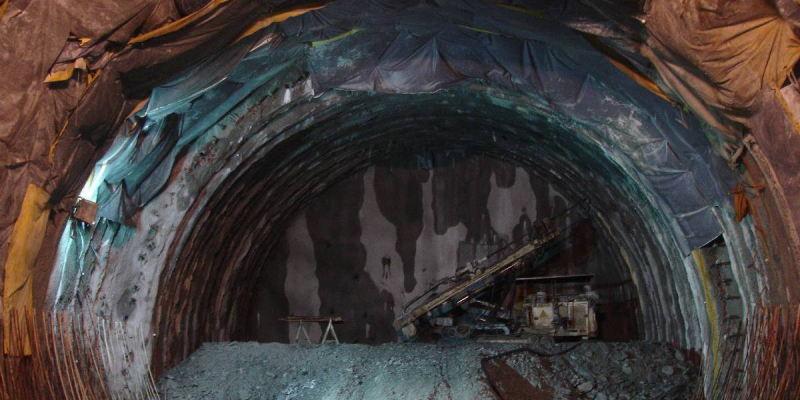
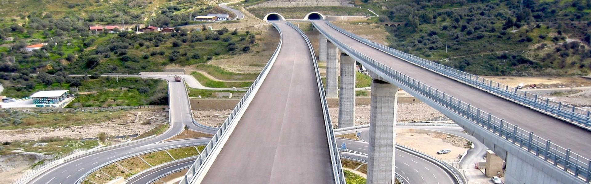
The road develops for a length of about 62 Km, crossing the Khawr Abdallah channel by means of an underground tunnel (under separated design) for about 2 Km.
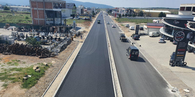
The new road will be provided with two lanes per direction, with a Right of Way for a possible upgrade to three lanes, in the future.
The new road has been simulated with a strategic traffic model and included in the Al Faw Peninsula Transportation Master Plan, as the backbone of the private mobility and goods flows.
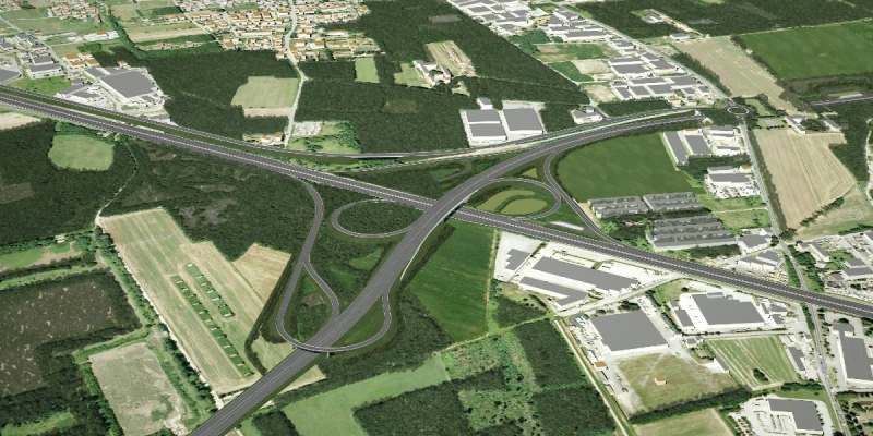
The Al Faw Peninsula territory, crossed by the connecting road, is quite homogenous, desert and flat: no great interferences nor significant level variations are present. The selected path (among alternatives) runs outside the (new, huge) industrial area on the north side with junctions with the new city and the several industrial areas.
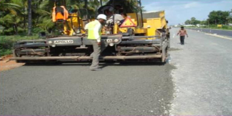
The relevant technical problem consists of the bad characteristics of the ground, investigated by a large set of soil surveys. The soil conditions are represented by deposits of loose-to-medium cohesion less soil (with or without some soft cohesive layers), or of predominantly soft-to-firm cohesive soil. To avoid excessive settlements a maximum of 5m height of embankments has been considered while a minimum of 1 m height has been considered to ensure the correct water disposal.
Embankments have been protected against water by using a protection layer made of local clay soil, stabilized with binder (3% of quicklime or equivalent) and in order to ensure capillary cut-off, a layer of granular material shall be placed in between the ground level and the embankment itself (anticapillarity layer).
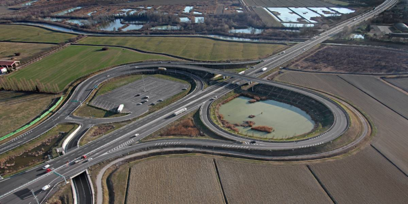
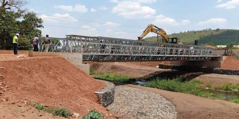
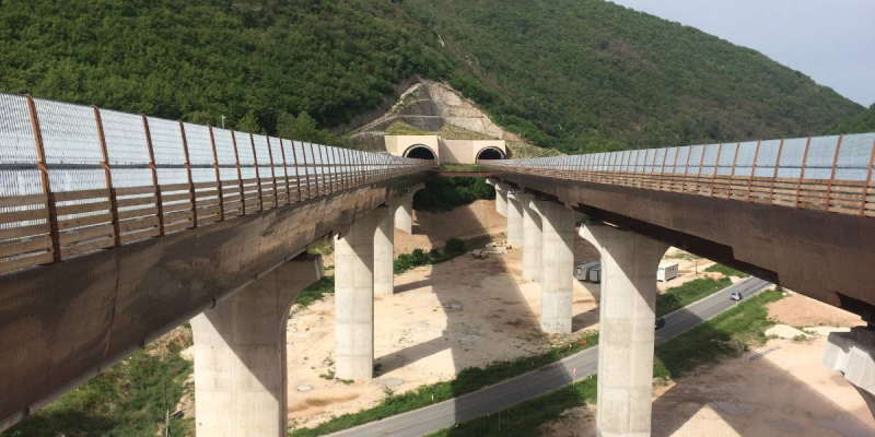
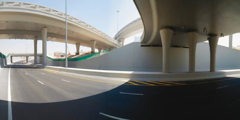
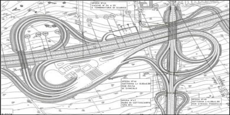
Along the Connecting Road three kind of structure are planned: two overpasses (simply supported concrete beams and continuous steel beams), for an extension of about 1.2 km and an immersed tunnel to underpass the Khawr Abdallah channel.
Two different drainage system are implemented depending on the kind of cross section considered: a straight road or curved road. In the first case, the water flows to both the external side of the paved surface, flows through the open chute drain and then reach the compluvium flowing in the ditches, placed road side, on the base of the embankment. In the second case, all lanes have the same cross slope so the flow of the higher lane is taken by the diches in the median and collected by a pipe to the compluvium while on the lowest lane the flow follow the scheme of the first case. The water will be conducted by the ditches in evaporation pounding areas; in the future, before reaching pounding aeras the water will be treated in already planned treatment tanks
Client
Ministry of Transport of Iraq
Location
Basrah Governorate (Iraq)
Services
Work supervision
Cost of works
Euro 6,758,000