")
Roads and Motorways Urban roads
Master Plan and Feasibility Study for the improvement and rehabilitation of urban roads of the City of Djibouti (Djibouti)
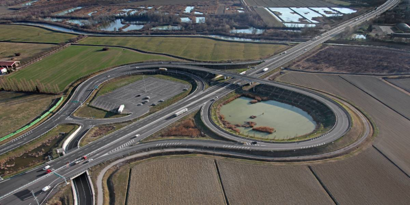
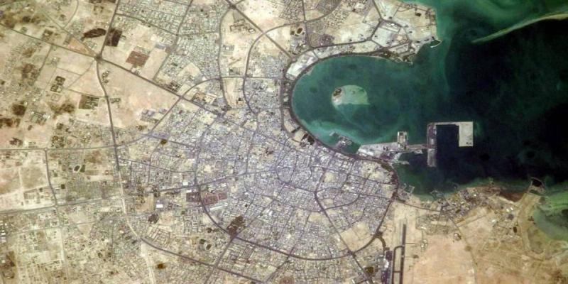
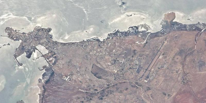
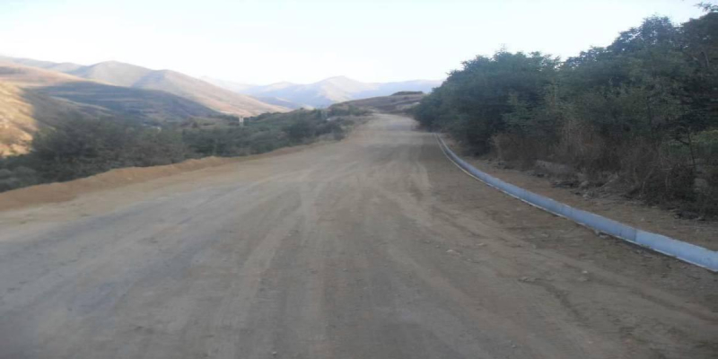
Djibouti is strategically located at the southern end of the Red Sea and thus on the most important shipping routes from Europe, East Africa, Asia and the Arabian Gulf. Djibouti is an essential seaport managing 100% of the Ethiopian maritime traffic cargoes and transit country for trucks, routed along some peripheral urban roads and the extra-urban National Road number 1. The objective of the job was the need to strengthen and improve the quality of the urban road network. The main contents of the plan are the following:
- the prioritization of existing road network, through a multicriteria analysis, based on total and carriageway only road width, total and public transport traffic, presence of road drainage equipment, etc.;
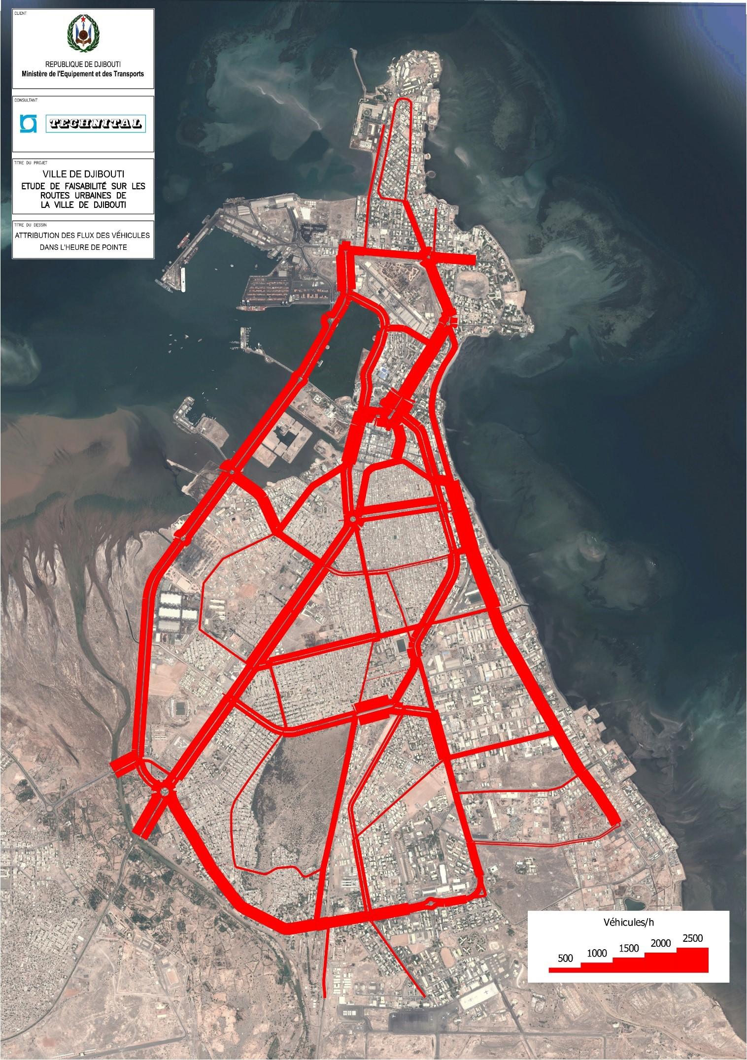
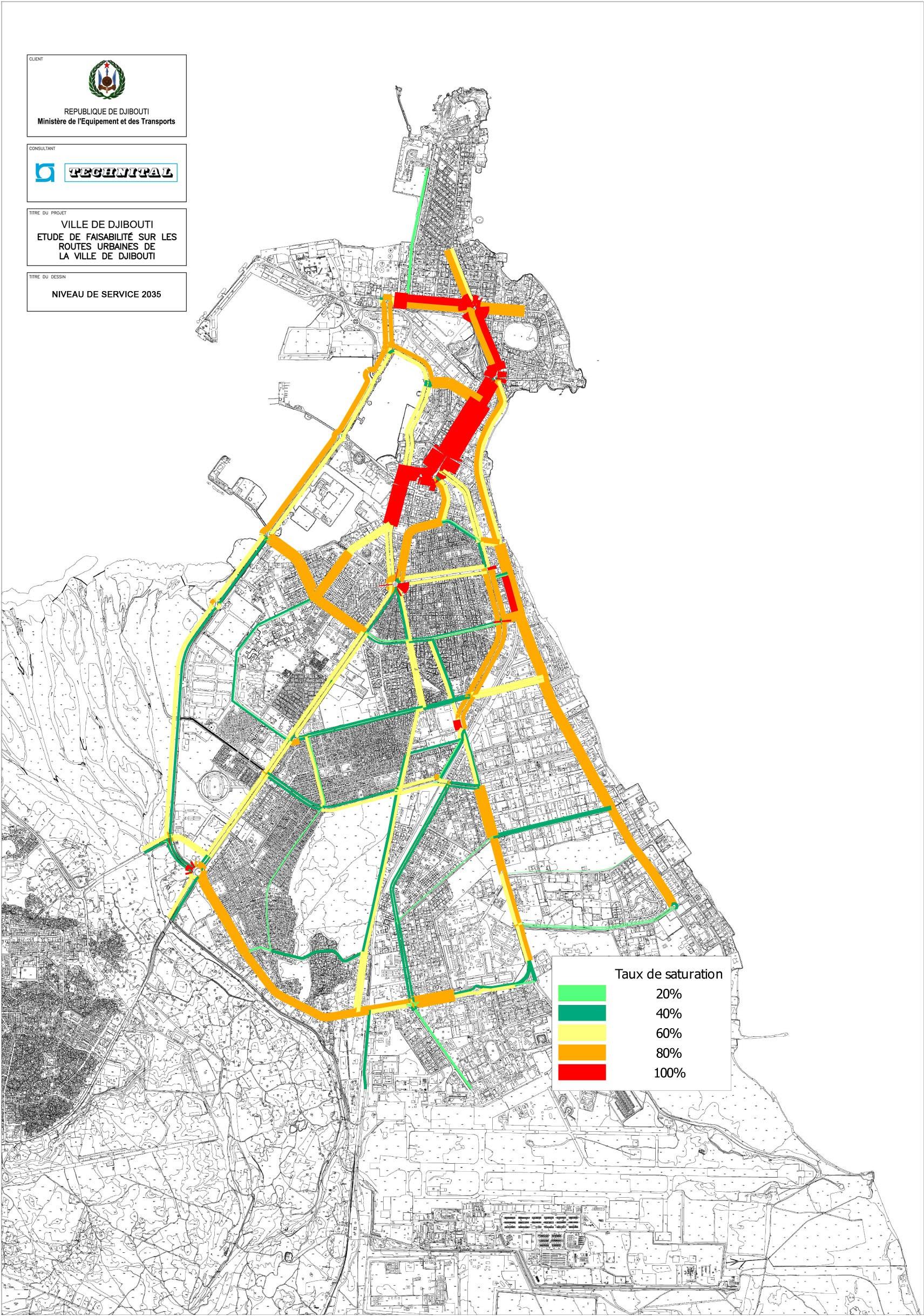
- a traffic study, including a traffic survey of the primary urban network in Djibouti city and the suburban attached Balbala settlement (around 70 and 15 survey points respectively), and a traffic simulation model applied to the current situation as well as to future (up to 2035) scenarios, aiming to evaluate the traffic flows and the road network performance, taking into account the high transport demand trend based on the expected Djibouti (Djibouti) city expansion and population growth. The network graph of the study area viability consists of about 550 nodes and around 1000 arcs for a total of about 100 km of the modelled routes;
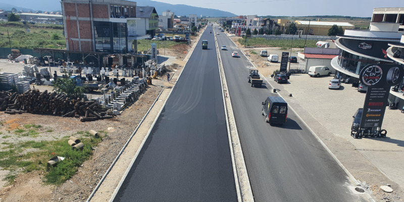
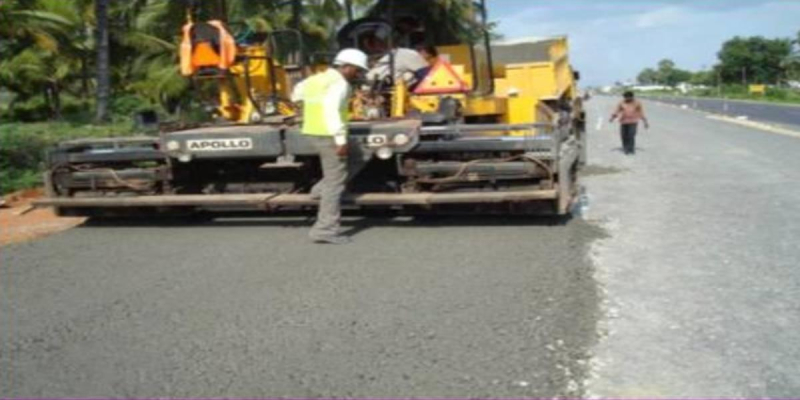
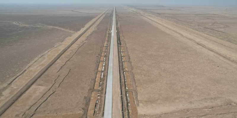
- a plan of road engineering works, mainly for roadway adaptation to cross section standards proposed for each road category, as well as for carriageway coating / drainage improvement / public lighting relocation, estimating the relevant costs, also per urban zone. The viability plan covers more than 320 km of roads, of which 30 km dual carriageway / 700 routes / approximately 155 km of paved roads (asphalt pavement) / approximately 165 km unpaved located primarily within old neighbourhoods. The road adaptations involve approximately 210 km of road – enlarging either existing roadways or sidewalks – of which about 50 km already paved, and about 160 km unpaved, half of which – 80 km – to be coated with bituminous pavement and the rest with stone blocks in the case of the neighbourhood roads. The plan has been managed through a geographic information system (GIS) tool.
The following other subjects have been also developed, at level of feasibility study / concept design:
- the ground reuse of the urban section of the abandoned historic Djibouti-Addis Ababa railway, as (i) cycle-pedestrian way and resting area, also integrating the route into a proposed urban network, (ii) light rail urban public mass transport system, along the railway route as well as alternative more central routes inside the urban area, (iii) recreational site with green and resting areas, meeting amphitheatre, food and eventually shopping mall, along a seafront road section;
- the road parking regulation as well as new parking facilities in the Djibouti city central business district area;
- a new bus station for extra urban road transport services, provided by station building / bus circulation and parking places / passenger waiting and boarding apron.
Technital has carried out the master plan and feasibility study / concept design services, particularly:
- the road urban network archive and relevant road engineering
- the cycle-pedestrian and light rail transport routes and technical characteristics
- the existing road parking survey and regulation proposals
- the functional and dimensional aspects of the bus station.
Client
Ministère de l’Equipement et des Transports
Location
Djibouti
Services
Master Plan, Feasibility Sstudy
Cost of works
Euro 195,000